Our New Static Maps API
At long last, we’re happy to announce that our Static Maps API is now available for all our customers!
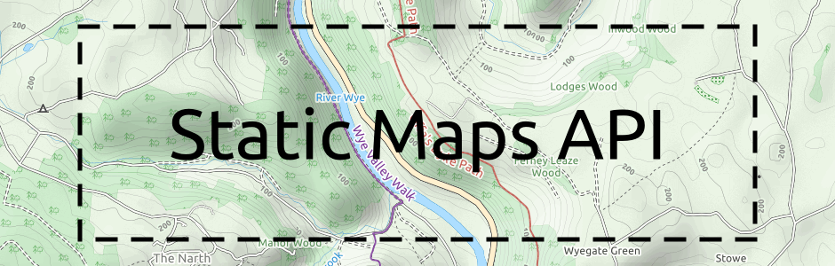
The Static Maps API allows you to choose the exact position and dimensions of a single map image. It’s a great solution when you aren’t looking for an interactive tiles-based map, and avoids the need to join and crop individual map images by hand to make a single image.
We developed the API over a year ago for one of our customers, who asked if we could put it together for their interactive gaming project. We’ve since had further enquiries, and we’ve been using it internally for a range of projects too. But it’s taken a surprisingly long time for me to put the documentation together, since we’ve been working on other projects too!
So if you’re looking for a simple way to get fixed map images from our services, then our Static Maps API is the answer. It’s available for immediate use, and works with all of our standard maps and our custom cartography too.
If you haven’t already done so, sign up for a Thunderforest account and get started!
Andy Allan is the Founder and Chief Mapwrangler